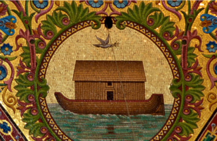
Scientists have deciphered the 3,000-year-old Imago Mundi clay tablet, uncovering the world’s oldest map and potentially revealing the location of Noah’s Ark. The ancient Babylonian artifact, housed at the British Museum, features a circular world map illustrating early Babylonian creation ideas.
The map shows Mesopotamia at the centre, surrounded by a “bitter river” marking the known world’s borders. Passages on the reverse side guide travellers to Urartu (Ararat), where Noah’s Ark allegedly rested. Researchers link Urartu to an ancient Mesopotamian poem about a family preserving life after a 150-day flood.
Dr. Irving Finkel, a British Museum curator, confirms the shared story between Babylonian and Biblical accounts. The Babylonian myth of Utnapishtim building an ark parallels the Biblical story.
Excavations on Mount Ararat in Turkey have uncovered clay, marine materials, and seafood, dating human presence to 3,000-5,000 years ago. However, controversy surrounds the site’s authenticity.
The Imago Mundi analysis reveals Babylonian beliefs in the god Marduk and mythical creatures. The cuneiform text describes a journey to a “giant vessel,” potentially Noah’s Ark.
The tablet dates to 3,000 years ago, while the Biblical Great Flood is estimated to have occurred 5,000 years ago. The Gilgamesh Flood story shares similarities with the Biblical account.
Researchers continue to study the Imago Mundi, unlocking secrets about ancient civilizations and their connections to the Noah’s Ark story.


